LS25 Frankenmuth 25 Map v1.0.0.0


LS25 Frankenmuth 25 Map v1.0.0.0
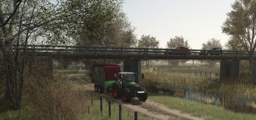
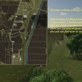
Welcome to the Frankenmuth agricultural map. This map is a Michigan, United States style agricultural map near the town of Frankenmuth.
Originally created by TaylorFarms for FS22, it was adapted for FS25. There are a few omissions from the original, but there’s still plenty to keep you occupied!
The map has 41 small to large fields. There are 2 small forest areas for felling wood on the map. There are several sales points, production facilities and a train.
No BGA available. The terrain on the map is mostly flat with some hills, valleys, and ditches.
This is the first version, the log files are clean but there may be a few items here and there.